 Short Answer Type
Name two major resources of the Bastar district. Give any two reasons for the failure of the failure of the Tribal Development Plans in this area.
 Long Answer Type
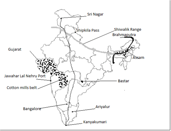
On the outline map of India provided:
a. Mark the shiwalik range and Shipki La Pass.
b. Draw and label the river which flows into India through the Dihang Gorge.
c. Shade one area where it rains during the hot, dry seasons and write the local name of the rain.
d. Shade and name the state which is the largest producers of groundnuts.
e. Mark and label the industrial region with the maximum number of cotton mills.
f. Mark and name the most important lignite producing area in Tamil Nadu.
g. Mark the North-South corridor of the National Highway and label its two terminal ends.
h. Mark and label the city which has the largest aircraft manufacturing unit.
i. Mark and label the city which has the largest aircraft manufacturing unit.
j. Shade and label the Bastar district.

